 AuScope GeoNetwork
Borehole Portrayal View
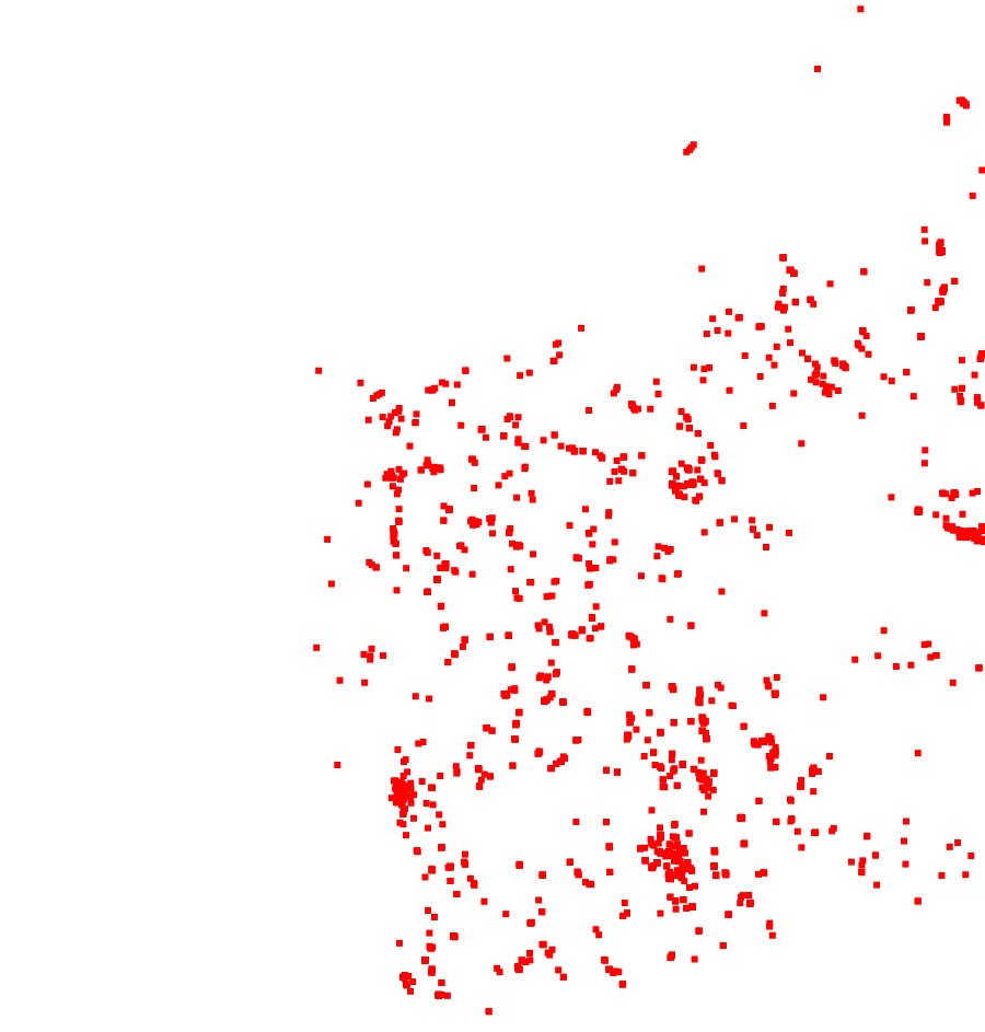
GeoSciML Portrayal Borehole View for NVCL Borehole
Simple
- Status
- Point of contact
-
Role Organisation Electronic mail address Point of contact Geological Survey of Western Australia (GSWA)
- Spatial representation type
- Topic category
-
- Geoscientific information
Extent
Extent
N
S
E
W
))
- Maintenance and update frequency
- As needed
- Theme
- Place
-
-
World
-
- Australian and New Zealand Standard Research Classification (ANZSRC): Fields of Research
-
-
Earth Sciences
-
Resource constraints
- Use limitation
- Access constraints
- Licence Unrestricted
- Use constraints
- Licence Unrestricted
- Language
- English
- Character encoding
- UTF8
- OnLine resource
-
gsmlp:BoreholeView
Borehole Portrayal View
- Hierarchy level
- Dataset
- Reference system identifier
- EPSG:7844
- Reference system identifier
- CRS:84
Metadata
- Metadata identifier
- urn:uuid/df9c0a7a924099debe08492995b98ddaeeec5523
- Language
- English
- Character encoding
- anyValidURI
- Contact
-
Role Organisation Electronic mail address Point of contact Geological Survey of Western Australia (GSWA)
Point of contact
Type of resource
- Resource type
- Dataset
- Metadata linkage
-
https://portal.auscope.org.au/geonetwork/srv/api/records/df9c0a7a924099debe08492995b98ddaeeec5523
- Date info (Revision)
- 2026-10-20T02:48:14.530606Z
- Date info (Creation)
- 2026-11-05T10:16:03
Metadata standard
- Title
-
ISO 19115-3
)))
